
Walk a Benton County Street
A useful street-by-street search separates ownership from occupancy. The Benton County Assessor identifies the owner carried on the tax roll, while the parcel map fixes that record to the land. Neither proves that the owner sleeps there. Deeds document title transfers, and directory or voter evidence may connect people to an address at a particular date. Each source was made for a different task, so agreement across them is much stronger than one isolated name.
- Enter the street number, street name, and city in Benton County PropertyAccess. Open the parcel card and record its owner, situs address, mailing address, Geo ID, and legal description.
- Open the county GIS parcel layer. Inspect the target polygon and nearby parcels rather than treating one search result as the whole street.
- Use Washington MyVote only to check your own registration. A broader voter-file request follows state rules and may omit protected voters.
- Search the owner's purchase in the Auditor's EagleWeb index. Save the grantor, grantee, date, document number, and book or page reference.
- For an older household, consult verified directory runs and confirm whether a particular volume actually includes an address or criss-cross section.
This sequence makes the street directory a chain of dated evidence. A mismatch is not a reason to force a conclusion. It may reflect tax mail sent elsewhere, a recent sale, a city boundary, or a road name that changed between records.
Benton Street Directory Fields
Benton County PropertyAccess supports several routes into one parcel record. The basic screen accepts a property identifier, parcel or Geo ID, street number and name, city, and a Doing Business As field. Advanced criteria reach abstract, subdivision, mobile-home, condominium, township, range, and section records. There was no visible ZIP field on the inspected basic page, so use the city and street controls before moving to GIS.
| Portal field | Best use | Format note |
|---|---|---|
| Property ID | Open a known tax account | Use the identifier shown on county records |
| Parcel / Geo ID | Match land across systems | Leading zeros may be omitted from the 16-digit parcel form |
| Street number and name | Find one address or scan a road | Keep directional and road suffix parts |
| City | Narrow repeated street names | Postal city may not equal city limits |
| Township / range / section | Find rural land without a stable address | Select quarter before quarter-quarter |
The PropertyAccess screen illustrates the fields used in a Benton County street directory search. Its result is a tax and appraisal record, not a roster of occupants.
Read Benton County Addresses Exactly
Benton County's E911 addressing system makes every part of a rural address matter. The county's example, 123456 E 421 PR SE, contains a number, direction, road identifier, private-road marker, and quadrant. Dropping “PR SE” or searching only the number can point to the wrong road or produce no match. The county also warns that a vacant parcel may have no assigned address.
Benton County GIS explains its addressing rules and Master Address Viewer. A temporary address marked with “T” may change after a residential building permit. Preserve the original form in research notes, then record any replacement address beside it. That detail prevents two address labels for the same parcel from looking like two different properties.
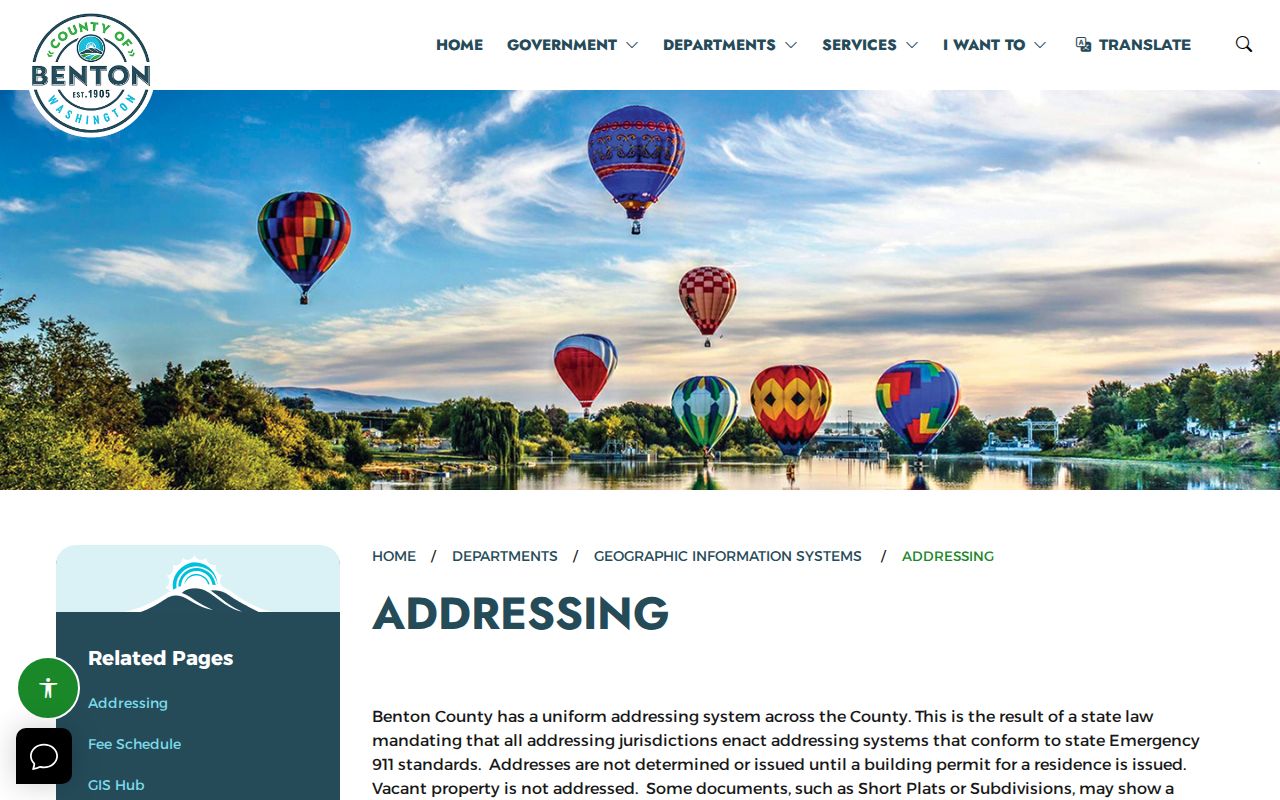
The captured county page is the best reference for parsing rural and temporary address forms before searching other records by street.
Map Benton County Street Parcels
The Benton County GIS parcel layer exposes the fields behind the map. OWNER_NAME and OWNER_ADDR describe the tax-roll owner and mailing address. SITUS_ADDR identifies the physical parcel location. LEGAL_DESC, GEO_ID, acreage, square feet, year built, appraisal values, document number, image, and sketch fields add context. Scan adjacent polygons to follow a road, but do not assume that every mailing address belongs to a person at the situs.
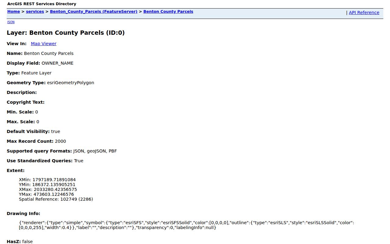
The layer view shows why GIS is more than a picture: its structured owner, site, legal, and improvement fields provide the bridge to deeds and permits.
- Parcel
- A mapped piece of land with its own county identifier.
- Situs address
- The physical location assigned to land, distinct from the address used for tax mail.
- Plat
- A recorded map that divides land into lots, blocks, streets, and easements.
- Criss-cross directory
- A directory arranged by address or telephone number instead of only by surname.
Benton Records Found by Street
A Benton County street directory can draw from several address-keyed systems. Online access is fastest for current property and parcel-map data. Recorded documents have both a modern index and older PDF paths. Permit custody changes with jurisdiction, and voter data has state-law limits. The table keeps those roles distinct.
| Record Set | Keeper | What It Shows | Access |
|---|---|---|---|
| Property and tax roll | Benton County Assessor | Owner, tax mail, situs, value, sales, exemptions | PropertyAccess and office help |
| GIS parcel layer | Benton County GIS | Parcel shapes, nearby lots, legal and site fields | Public web maps and ArcGIS Hub |
| Deeds, liens, plats | Benton County Auditor | Parties, transfers, document references, legal land | EagleWeb, PDFs, cash books, request form |
| Voter records | Washington SOS | Permitted registration fields, subject to protection | Own-status MyVote or controlled extract request |
| Permits | Benton County or relevant city | Project, applicant, site, and inspection history | Citizen portal or records request |
The Geo ID and legal description are the safest connectors. A street name can vary, while the land description may persist. For tax balances or payments, use the Treasurer, which is not interchangeable with the Assessor. The Assessor values property; the Treasurer bills and collects tax.
Follow Benton Deeds by Address
The Benton County Auditor recorded-document search links a present parcel owner to the title trail. Search EagleWeb for the purchase deed, then note the grantor, grantee, recording date, document type, instrument or fee number, legal description, and book or page. Deeds prove transfer of title. Liens, easements, and deeds of trust can add names, but they do not by themselves establish who lived at the property.
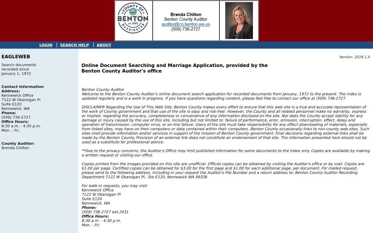
The EagleWeb capture shows the public search entry and account controls. Index searching can be public while viewing or printing images may depend on registration or subscription.
Coverage needs care at the transition. The county page says January 1971 to present, while EagleWeb says January 1972 to present. Historical PDF indexes cover 1906 through 1970 or 1971. For a 1971 document, check EagleWeb, the PDF index, and Auditor staff. Cash and fee books can turn a fee number into a book, page, type, filer, and date. A search request may also be sent by mail, email, or delivered in person to the Recording Division.
Benton Street Permit Trails
Construction records can explain why a parcel card shows a newer year built, a changed address, or a structure that does not match an older map. Benton County moved permitting records toward EnerGov Citizen Self Service. Inside Richland, the city Development Services channel holds building-permit records and applies limits to copyrighted plans. Search the office that had authority over the site when the work occurred.
A permit may name an owner or applicant and record the project address, type of work, inspections, and status. It is evidence of work at a place, not proof that an applicant lived there. Code-enforcement files can carry exemptions, including confidential complainant details. If an online search fails, file a narrow request with the county or city custodian and state the address, date range, and record type.
Benton Voters Are Not Households
Washington MyVote asks for first name, last name, date of birth, and identity checks so a person can reach their own registration. It is not a public street roster. Benton County's voter-data page routes statewide voter-list, matchback, and voting-history reports to the Washington Secretary of State. State law permits defined voter-file fields and bars certain uses, while the Address Confidentiality Program and protected-voter process withhold actual addresses.
A missing voter entry never proves that a home is empty. A person may not be registered, may have moved between snapshots, or may be protected. Use voter evidence only as a dated corroboration after a parcel or directory result. Never publish or pursue an address that a lawful protection program has shielded.
Older Benton Street Directory Clues
Historical address work belongs to a different shelf. Washington Digital Archives has an indexed R.L. Polk collection for Benton, Franklin, and Klickitat Counties from 1911 through 1916. The State Library lists Benton runs for 1911 through 1918, 1952 through 1957, 1959, 1961 through 1965, and 1967 through 1973. Exact Benton reverse or criss-cross years were not verified, so confirm that an address section exists before treating a surname volume as searchable by street.
Old Richland, Hanford, White Bluffs, Kiona, Finley, and Hover labels matter. The 1943 federal selection for Hanford changed communities and roads, and present city names do not always fit historic sources. The full collection detail belongs on the Benton County city directory page; for street research, record the printed address exactly and bridge it to a current parcel with a legal description, plat, or dated map.
When Benton Street Names Fail
A legal description can outlast the address printed on an envelope. Urban plats use subdivision, lot, and block. Rural land may use township, range, section, quarter, and quarter-quarter, or a metes-and-bounds description based on surveyed calls. Benton PropertyAccess can search those advanced fields, and recorded plats connect a description to the road pattern.
Benton County was created in 1905 from Yakima and Klickitat Counties. A title trail that crosses that boundary may leave the Benton index and continue in predecessor-county books. Record the exact settlement and land description before making that detour. The county's oldest Benton indexes begin in 1906, which makes the jurisdiction change especially important for early property work.
Benton Street Directory Boundaries
A street directory assembled from public records cannot list everyone inside a home. Property records name owners and tax-mail contacts, not all occupants. Utility customer data, driver-address information, private membership lists, and protected addresses are not open substitutes. A directory publication is a dated snapshot, and a recorded deed answers a title question rather than a residence question.
Use official records to study a property, reconnect through lawful channels, support family history, or check the facts behind a possible scam. Stop when a record is sealed, restricted, or protected. The Washington Address Confidentiality Program exists to keep actual locations out of routine state and local records for qualified participants.
Lawful use. Use Benton County address records only for lawful personal research. Never use them to stalk, harass, intimidate, or harm anyone.