
Benton County ZIP Coverage
This working Benton County ZIP code directory groups the postal labels found in the county research. It is not an official boundary map. USPS facility names and any box-only or unique status were not confirmed, so none are claimed. Enter a full address in the USPS ZIP Code Lookup before using a row as a search filter.
| ZIP | Areas or labels to check | Post office | Local caution |
|---|---|---|---|
| 99301 | Tri-Cities and adjacent Kennewick-Richland area | Verify with USPS | County and city labels may overlap |
| 99320 | Benton City and nearby rural area | Verify with USPS | Postal area is not the city limit |
| 99323 / 99324 | Benton City, Columbia River, and West Richland vicinity | Verify with USPS | Exact county coverage needs an address check |
| 99326 / 99330 | Connell-border label; Kiona and Finley vicinity | Verify with USPS | Check county and preferred city |
| 99336 / 99337 / 99338 | Kennewick, south/east approaches, Badger Mountain, West Richland vicinity | Verify with USPS | Annexed and rural pockets can differ |
| 99350 | Prosser and surrounding postal area | Verify with USPS | County-seat label does not set jurisdiction |
| 99352 / 99353 / 99354 | Richland, West Richland, north Richland and Hanford vicinity | Verify with USPS | Check each street and historic place name |
These are research-stage coverage clues, not a complete USPS table. The county evidence did not establish a Benton box-only ZIP, unique institutional ZIP, or exact station list. That uncertainty is useful: it prevents a postal label from being turned into a false claim about a home, town, or county boundary.
The table is best used as a set of candidates. A search for a Benton City address may need 99320, 99323, or 99324 as an initial clue, while the full address decides the answer. In the Tri-Cities, similar street names and nearby county lines make exact spelling just as important as the five digits.
Verify Benton ZIP Addresses
USPS is the authority for the preferred postal city and ZIP+4 attached to an exact deliverable address. Use the full house number, directional, road name, suffix, city, and state. A countywide place list is not enough. The postal result can reveal that a familiar city name serves an unincorporated pocket or that the preferred city differs from the municipal name used by another office.
Open the official USPS address lookup before reviewing the captured search screen.
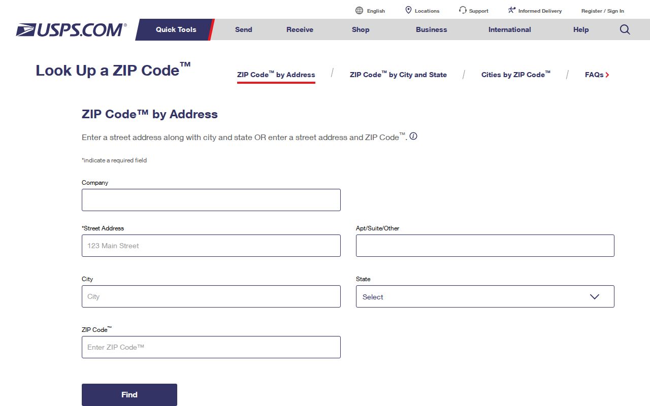
The screen shows why the full address belongs at the start of the search. Save the returned preferred city and ZIP+4, but keep the original address form for later county and historical comparisons.
If USPS does not return a match, check whether a directional or unit was dropped. For rural Benton County, preserve private-road letters and the final quadrant. A vacant parcel or temporary subdivision number may not behave like a settled mailing address, so move next to the county parcel ID rather than guessing another ZIP.
Benton ZIP Splits by City
Kennewick-area research often begins with 99336, 99337, or 99338. The working coverage links them with Kennewick, south and east rural approaches, Badger Mountain, and the West Richland vicinity. Richland-area work often checks 99352, 99353, and 99354, but those labels can span Richland, West Richland, north Richland, Hanford, and county pockets. Verify by street rather than assuming each three-ZIP group follows a clean city line.
Benton City and Kiona bring a different problem. The working rows for 99320, 99323, 99324, and 99330 cover small-city and rural labels where private roads, county addressing, and a nearby postal city may all appear. Prosser's 99350 label identifies the postal area around the county seat, not the office with authority over every record tied to an address.
Note: No single countywide ZIP split or street-renumbering year was found, so address-level evidence must control each search.
Find Benton Records by ZIP
No public Benton County portal was confirmed as a one-click directory of people by ZIP. The inspected PropertyAccess basic screen shows City, address, parcel, and Doing Business As modes, but no visible ZIP field. County GIS can query situs and address fields, though no simple public ZIP layer was confirmed. The statewide voter extract can contain ZIP, but it is a controlled request rather than a public ZIP directory.
- Verify the exact street address and ZIP+4 with USPS. Save the preferred city as a postal label, not proof of jurisdiction.
- Check the physical, or situs, address in Benton PropertyAccess. Use its visible city and street controls when ZIP is absent.
- Open the Benton County GIS Hub and compare parcel location with municipal or county geography.
- If a lawful genealogy or civic question calls for voter data, follow the county's routing to the Washington Secretary of State. Do not treat MyVote as a ZIP-wide name index.
- Once the area narrows to one road, move to the Benton County street directory for the address-based record path.
This sequence separates delivery geography from land records. PropertyAccess can identify an owner and parcel record, but neither an owner name nor a tax mailing address proves current occupancy. A ZIP-wide claim about residents needs more than a cluster of parcel results.
Washington voter records also require care. Benton County routes statewide database reports, including voter lists and voting history, to the Secretary of State. MyVote is designed for a person to check their own status with first name, last name, date of birth, and identity prompts. It is not a public browse screen for everyone within one postal area, and protected-voter records remain shielded.
Benton Rural ZIP Address Rules
The Benton County E911 addressing page explains why rural searches fail even when the ZIP is right. Residential addresses are assigned with a residential building permit. Vacant land may have no street address. A short plat or subdivision may carry a temporary number with a “T” prefix, then change after the permit process.
Preserve every segment of a private-road address. The county example, 123456 E 421 PR SE, contains a building number, directional, private-road number, PR designation, and final quadrant. Dropping “PR,” “E,” or “SE” can point to another road or no result. The Master Address Viewer covers unincorporated Benton County; city address questions belong with the relevant city.
Review Benton County's address rules with the captured page.
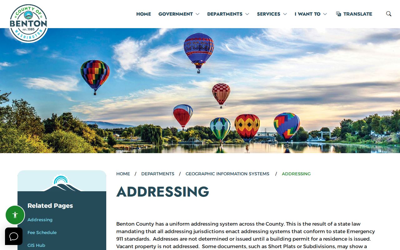
The captured county resource helps distinguish an invalid search spelling from a temporary or not-yet-issued address.
A 16-digit Benton parcel number can bridge these changes. The first six digits encode township, range, and section; the next six identify map coordinates; the last four add description detail. Leading zeros may be omitted in the assessor search. When the street number changes, parcel and legal-description fields can keep the land search stable across deeds and maps.
Benton ZIP Record Fields Differ
A Benton County ZIP code directory search can touch several address fields. They are not interchangeable. Write down which field produced each result, especially when the owner receives tax mail outside the county or a rural site uses a nearby city as its postal name.
| Field | Meaning | Where checked | What it cannot prove |
|---|---|---|---|
| Preferred city and ZIP+4 | USPS delivery label for an exact address | USPS lookup | City limits or county authority |
| Situs address | Physical parcel location | PropertyAccess and GIS | Who lives there now |
| Mailing address | Destination for tax notices | Assessor parcel record | Owner's residence or parcel site |
| Legal description | Lot, block, plat, or metes-and-bounds land description | Parcel and recorded deeds | Postal delivery code |
| Parcel ID | County database key for land | Assessor and GIS | A household identity |
Benton ZIPs Versus City Limits
ZIP areas are built for mail delivery. Benton County city limits define civil authority. Rural and annexed pockets can carry a Richland, Kennewick, West Richland, Prosser, or Benton City postal label while lying outside that incorporated city. Use the parcel's legal description, county GIS, and the city's planning or annexation map to resolve the mismatch.
- ZIP and ZIP+4
- The five-digit delivery area and a four-digit add-on that narrows mail routing for an exact address or group.
- PO-box ZIP
- A code used for post-office boxes. No Benton code was verified as box-only in the reviewed official sources.
- Unique ZIP
- A code assigned to one high-volume organization. No Benton example was confirmed in the research.
- Carrier route
- A postal delivery path within a ZIP. It does not serve as a city or property boundary.
Historic Benton ZIP Place Names
Modern ZIP codes do not solve older Benton County geography. Directories and newspapers may use Hanford, White Bluffs, Richland, Horn Rapids, Hover, Finley, Kiona, railroad camps, or precinct names that no longer align with current delivery labels. The federal selection of the 600-square-mile Hanford site in 1943 reshaped communities and records around north Richland.
For a historical address, search the old settlement name first. Pair its directory or newspaper wording with a dated map, photograph caption, parcel legal description, and deed. If a record predates Benton's 1905 formation, also check predecessor-county context in Yakima or Klickitat. This avoids forcing an early address into a postal system that did not yet exist.
Telephone books and city directories can help translate a later address, but Benton reverse-directory years have not been verified as a complete run. Ask the Washington State Library which specific volume contains street-order pages. A printed directory is a dated publication snapshot. It should be paired with GIS and recorded land evidence rather than read as a current list of residents.
Note: A historic community name is a search term, while the modern ZIP is only a later delivery clue.